From Utah’s red rock switchbacks to the Arctic reaches of Alaska, these five unforgettable rides across America show just how far adventure motorcycling can take you.
The best adventures often begin where the familiar ends.
For ADV riders, that’s kind of the whole point.
Adventure motorcycling is about seeing just how far a motorcycle can take you. That might involve crossing high mountain passes, navigating desert canyons, winding deep into national forests, and eventually reaching places so remote that simply getting there becomes the best part of the story.
That kind of freedom is what makes adventure riding so special.
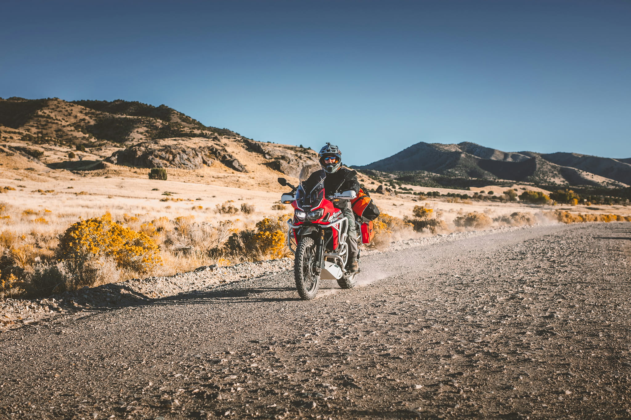
Adventure motorcycles, or ADVs, are built to connect pavement, gravel, dirt roads, and backcountry routes into one journey. They open up an entirely new way to explore, giving you the freedom to keep going long after the pavement ends.
And across America, there are a handful of those extra special rides that show just how incredible that experience can be.
So whether you’re looking for your next weekend getaway or a once-in-a-lifetime expedition to build towards, here are five of our favorite places an ADV can take you.
Death Valley National Park, California
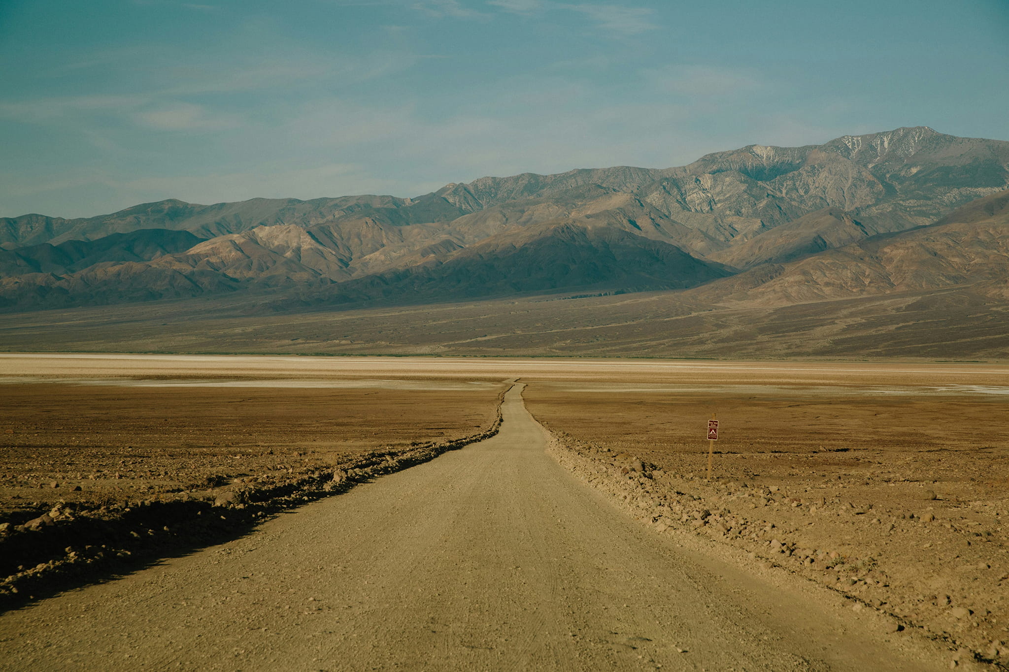
An ADV unlocks a side of Death Valley most people never see.
It’s the largest national park in the lower 48, and it contains nearly 1,000 miles of paved and dirt roads spread across more than 3.4 million acres, giving you an enormous playground beyond the familiar viewpoints and highways.
One of the park’s best-known backcountry rides is Titus Canyon Road. When open, the 27-mile route begins in Nevada, just outside the park boundary, before climbing over a mountain pass and winding past the ghost town of Leadfield and ancient petroglyphs.
And that’s just one corner of the park. You can ride out toward the Racetrack, a remote dry lakebed famous for the mysterious rocks that leave long trails across the playa as they slowly move over time. Nearby, Ubehebe Crater drops 600 feet into the desert floor, while further south, Badwater Basin sits 282 feet below sea level, the lowest point in North America.
The riding between those places is just as much a part of the experience. One stretch might send you across wide open gravel with mountains on the horizon, while the next narrows into a rocky canyon, sandy wash, or rough backcountry road.
And the farther you go, the emptier it gets.
That remoteness is a huge part of Death Valley’s appeal, but it also means you need to do your homework and come prepared. Cell service is scarce, road conditions can change quickly after storms, and flat tires are common enough that the National Park Service recommends carrying repair equipment, extra food, and plenty of water.
And then there’s the heat. Death Valley is famous for its scorching summer temperatures that can reach as high as 130oF with nighttime temperatures of up to 90oF. The National Park Service encourages motorcyclists to visit between October and April, when conditions are significantly cooler.
White Rim Road, Utah
Few places make you feel the sheer scale of the world like the White Rim.
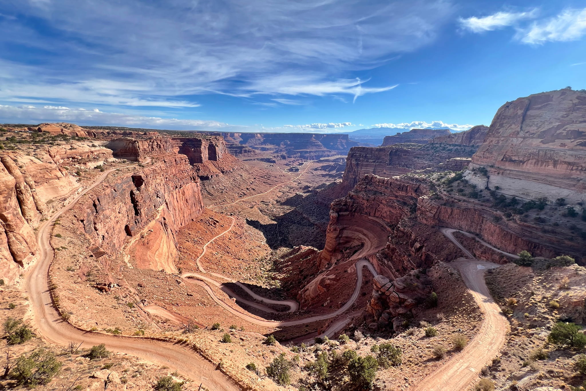
For roughly 100 miles, the route winds around and below the Island in the Sky mesa in Canyonlands National Park, dropping riders into an enormous landscape of red rock cliffs, sprawling canyons, and seemingly endless Utah sky.
Ridden clockwise, the loop opens with the iconic Shafer Trail, a dizzying stack of switchbacks carved directly into the cliffside that falls 1,400 feet to the canyon floor. Then the road levels out along the pale sandstone ledge that gives the route its name, and the road disappears into the backcountry below.
From there, White Rim delivers the kind of riding that makes this part of Utah an ADV dream. Expect long stretches of dirt and rock, deep sand, steep climbs, exposed ledges, and panoramic canyon views that will be forever etched in your mind. You’re going to want to stop for photos. A lot of them.
It’s beautiful, but what it asks of you is real. There’s almost no shade and no potable water along the route, while steep sections like Murphy Hogback and Hardscrabble Hill add another layer of challenge.
A full loop takes a long time, and timing can vary depending on conditions, pace, and how often you stop along the way. If you’d rather take your time, consider stretching it into an overnight trip. Many riders choose to base themselves in Moab during their time here. Just note that you’ll need a permit to ride the White Rim. Day use permits open the day before, while overnight falls in the high season often book up well ahead of time.
White Rim Road probably isn’t where you want to take your first spin on gravel, but once you’re comfortable away from the pavement, few places combine this much adventure and scenery into one ride.
The Alpine Loop, Colorado
If you’ve ridden the Million Dollar Highway (a route we’ve featured in our Biker’s Bucket List as one of our favorites in the country), then you’ve already seen the San Juan Mountains from the pavement. The Alpine Loop takes you straight up into them.
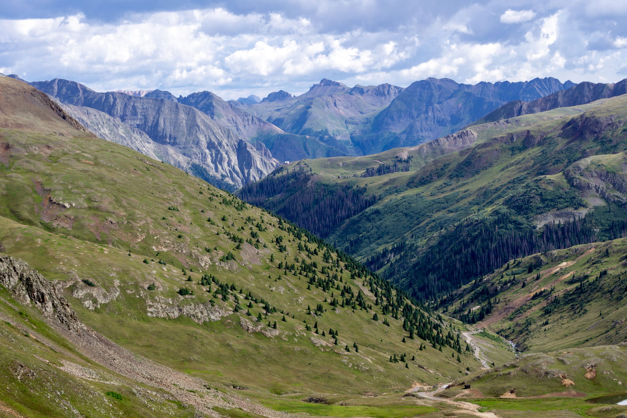
This 65-mile network of unpaved roads connects Ouray, Silverton, and Lake City, climbing over Engineer Pass and Cinnamon Pass at more than 12,000 feet along the way. For long stretches, you’re riding above the tree line, surrounded by open mountain terrain and breathtaking views in every direction.
Long before adventure riders found their way here, these roads were carved through the mountains during Colorado’s mining boom. In the late 1800s, mule-drawn wagons hauled ore over many of the same passes, and reminders of that history still sit scattered throughout the landscape.
The summits give you that rare top-of-the-world perspective, but just getting there is half the experience. Expect rocky climbs, loose surfaces, steep grades, and tight switchbacks as the road works its way higher into the San Juans. This is the kind of riding where patience and control matter much more than speed.
And the Alpine Loop doesn’t have to be all or nothing. Riding the entire route can easily fill a day, but there are plenty of ways to experience a smaller piece of it. The road from Silverton up to Animas Forks is one of the easier sections, making it a great way to sample the scenery before deciding how much further you want to go.
And it’s definitely a place you can come back to again and again as your off-road skills improve, tackling a little more of the mountains each time.
The TransAmerica Trail (TAT)
In 1984, a Mississippi rider named Sam Correro climbed onto a Yamaha XT350 with a stack of paper maps and a simple idea: to find a way to explore more of America without sticking to the main roads.
What started close to home kept growing. Correro spent the next 12 years scouting public dirt roads, gravel, forest routes, and rural backroads, piecing them together one state at a time. The result became the TransAmerica Trail, known to riders simply as the TAT.
Today, the TAT has grown into a sprawling network stretching thousands of miles across the country, with routes connecting the Atlantic side of the U.S. to the Pacific coast at Port Orford, Oregon. Along the way, it winds through Tennessee’s hardwood forests, the Arkansas Ozarks, and the red clay of Oklahoma before climbing into Colorado’s high country.
But the landscapes are only part of what makes the TAT special.
The route takes you straight through the heart of small-town America, and over the years, a community has grown around the riders passing through. Official maps even mark homes, ranches, and businesses where locals have offered passing riders water, shade, minor repairs, or even a place to camp or stay.
And you certainly don’t have to ride it all at once. Official maps and GPS tracks are sold state by state, so plenty of riders tackle the TAT one section at a time over several seasons. Expect to cover around 200 miles in a full day, and plan your fuel carefully, since some stretches have up to 190 miles between gas stops.
Correro retired from the TAT in 2025 at the age of 86 and passed away in March 2026. But the route he spent decades creating lives on, and riders will be following his tracks across America for generations to come.
The Dalton Highway, Alaska
The last ride on this list goes about as far north as any road in America can take you.
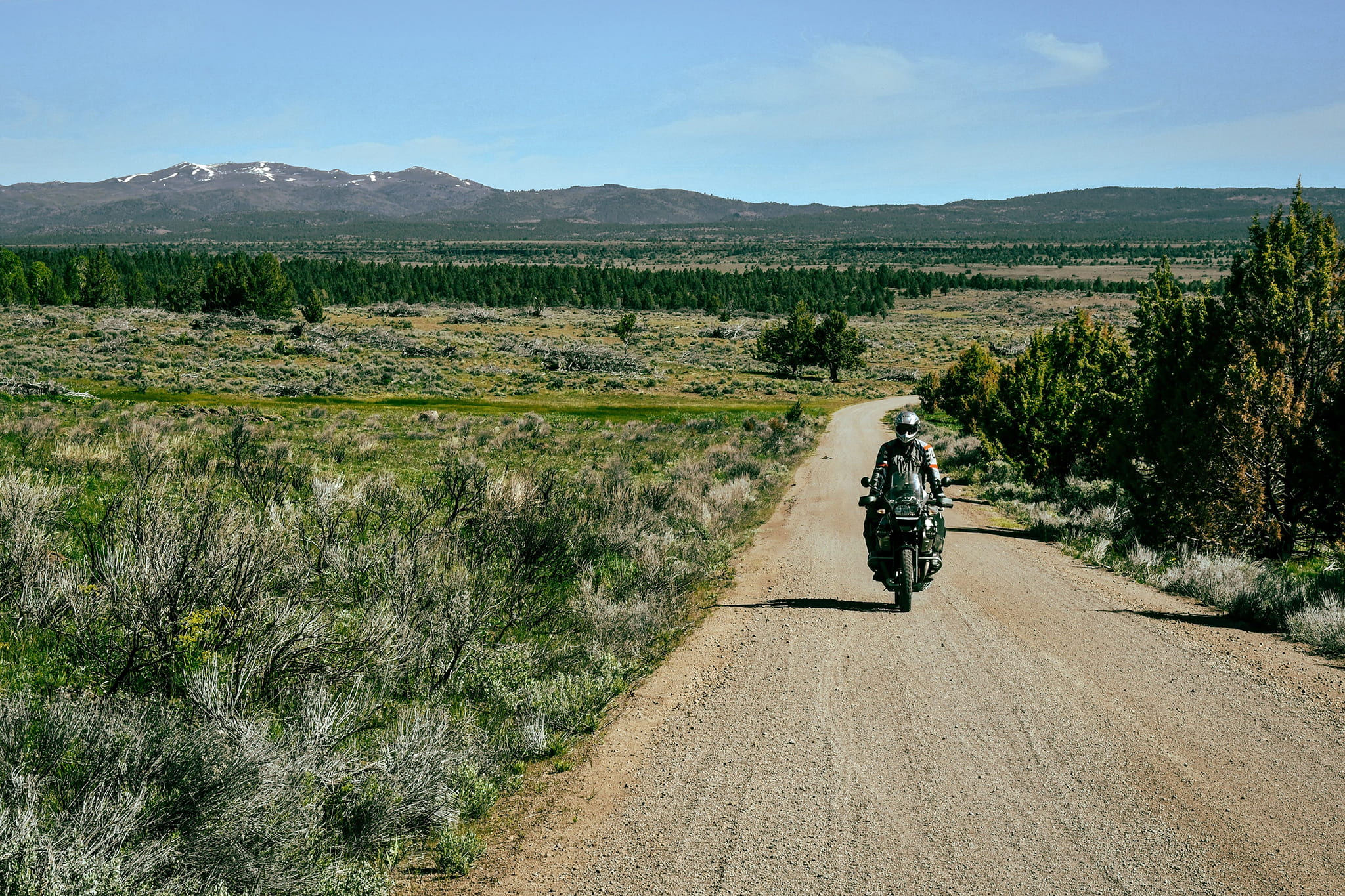
The Dalton Highway was never built to become a bucket list motorcycle ride. It was originally constructed as a haul road for the Trans Alaska Pipeline, stretching 414 miles from Livengood, north of Fairbanks, to Deadhorse on Alaska’s North Slope. The trucks serving the oilfields still rely on it today, and the public couldn’t drive its full length until 1994.
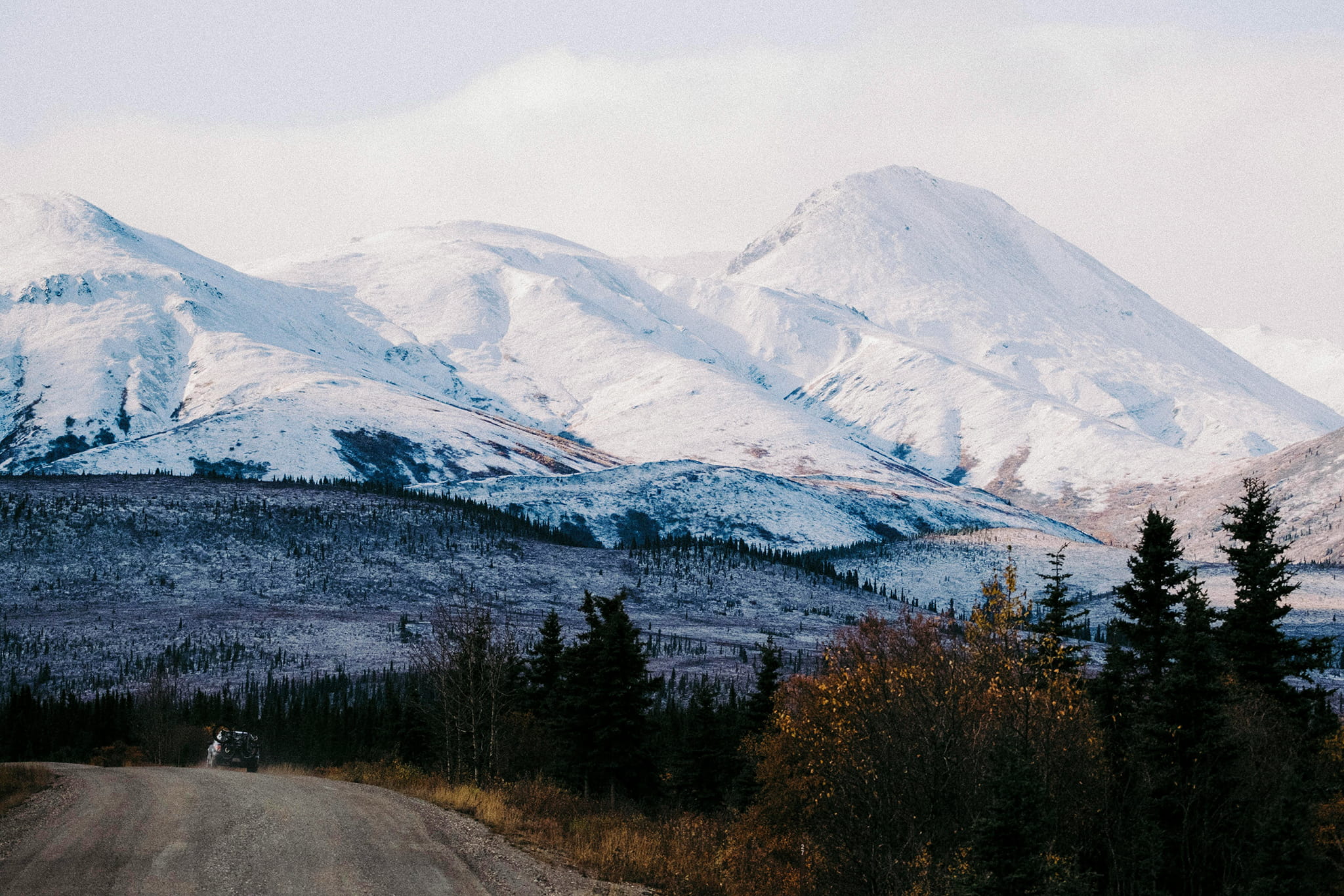
Along the way, you cross the Yukon River and the Arctic Circle before climbing over Atigun Pass in the Brooks Range, where the road crosses the Continental Divide. Beyond it, the trees disappear and the landscape opens onto miles of Arctic tundra stretching toward the top of the continent.
The road itself is mostly gravel and dirt, with intermittent pavement and conditions that can change dramatically with the weather. Dust can turn to slick mud, potholes appear without much warning, and snow or ice can show up in parts even in June or July.
This is a demanding route, and isolation plays a big part in that. There are roughly 240 miles between the remote communities of Coldfoot and Deadhorse, with extremely limited services along the Dalton as a whole.
Cell coverage is nonexistent; there are no medical facilities along the highway, and the Bureau of Land Management recommends carrying extra fuel, food, water, spare tires, warm clothing, and emergency supplies. This is less about conquering a technical trail and more about being ready for a true motorcycle expedition. Preparation is essential.
The public road finally ends in Deadhorse, about eight miles short of the Arctic Ocean. Getting all the way to the water requires an authorized tour.
And then, because it’s the only road, there’s only one thing left to do. Ride the 414 miles back.
Where Will Your ADV Take You?
One thing you might notice as an adventure rider: the more you explore, the bigger the map seems to get.
A gravel road close to home can turn into your first weekend in a national park. That can lead to an overnight trip with camping gear strapped to the bike, a mountain pass you never thought you would ride, or eventually one of the bucket list adventures we’ve compiled here.
You don’t have to start with White Rim Road or the Dalton Highway. Every new road has a way of making the next adventure feel a little more possible, and before long, places that once seemed impossibly far away start looking like future plans.
So find the ride that gets you excited and start wherever you are. There will always be another road to follow, another place to explore, and another reason to wonder what’s waiting beyond the pavement.
See you out there.